The Jolly Sailor, Canterbury
Introduction
The photograph on this page of The Jolly Sailor, Canterbury by Bill Boaden as part of the Geograph project.
The Geograph project started in 2005 with the aim of publishing, organising and preserving representative images for every square kilometre of Great Britain, Ireland and the Isle of Man.

There are currently over 7.5m images from over 14,400 individuals and you can help contribute to the project by visiting https://www.geograph.org.uk
The Jolly Sailor, Canterbury
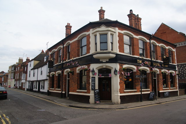
Image: © Bill Boaden Taken: 25 Jun 2012
Dating from 1899, it is on the corner of The Borough and Broad Street.
Images are licensed for reuse under creativecommons.org/licenses/by-sa/2.0
Image Location
Latitude
51.282033
Longitude
1.0833