Green Lanes, Hogsmill River
Introduction
The photograph on this page of Green Lanes, Hogsmill River by Colin Smith as part of the Geograph project.
The Geograph project started in 2005 with the aim of publishing, organising and preserving representative images for every square kilometre of Great Britain, Ireland and the Isle of Man.

There are currently over 7.5m images from over 14,400 individuals and you can help contribute to the project by visiting https://www.geograph.org.uk
Green Lanes, Hogsmill River
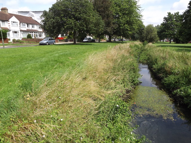
Image: © Colin Smith Taken: 17 Jul 2012
An area of grassy banks and Mock Tudor housing bordering a stretch of the Hogsmill River in suburban Ewell. www.epsomandewellhistoryexplorer.org.uk
Images are licensed for reuse under creativecommons.org/licenses/by-sa/2.0
Image Location
Latitude
51.350649
Longitude
-0.261415