The Bungalows, The Bryn
Introduction
The photograph on this page of The Bungalows, The Bryn by Jaggery as part of the Geograph project.
The Geograph project started in 2005 with the aim of publishing, organising and preserving representative images for every square kilometre of Great Britain, Ireland and the Isle of Man.

There are currently over 7.5m images from over 14,400 individuals and you can help contribute to the project by visiting https://www.geograph.org.uk
The Bungalows, The Bryn
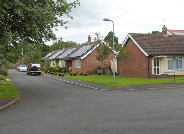
Image: © Jaggery Taken: 15 Jul 2012
The naming of this street as The Bungalows suggests a lack of inspiration in the street-naming section of the local council. Viewed from the edge of other bungalows, in Pentwyn. http://www.geograph.org.uk/photo/3043938
Images are licensed for reuse under creativecommons.org/licenses/by-sa/2.0
Image Location
Latitude
51.782833
Longitude
-2.972649