Flooded path
Introduction
The photograph on this page of Flooded path by Michael Dibb as part of the Geograph project.
The Geograph project started in 2005 with the aim of publishing, organising and preserving representative images for every square kilometre of Great Britain, Ireland and the Isle of Man.

There are currently over 7.5m images from over 14,400 individuals and you can help contribute to the project by visiting https://www.geograph.org.uk
Flooded path
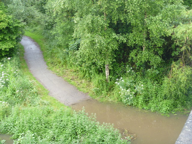
Image: © Michael Dibb Taken: 24 Jun 2012
Following heavy rain the previous evening, the riverside path is flooded as it passes under the bridge carrying Gladstone Road.
Images are licensed for reuse under creativecommons.org/licenses/by-sa/2.0
Image Location
Latitude
51.457088
Longitude
-2.118259