Ancient road? Lower Swell
Introduction
The photograph on this page of Ancient road? Lower Swell by Philip Halling as part of the Geograph project.
The Geograph project started in 2005 with the aim of publishing, organising and preserving representative images for every square kilometre of Great Britain, Ireland and the Isle of Man.

There are currently over 7.5m images from over 14,400 individuals and you can help contribute to the project by visiting https://www.geograph.org.uk
Ancient road? Lower Swell
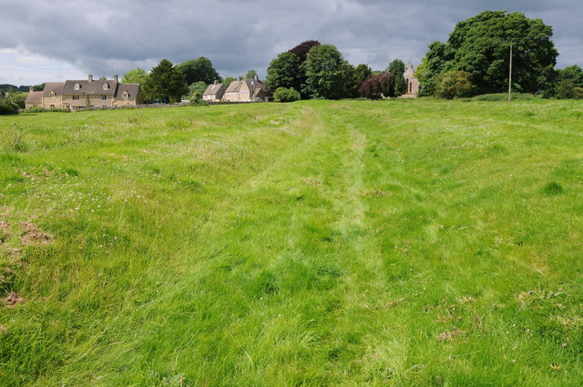
Image: © Philip Halling Taken: 15 Jul 2012
To the east of the church at Lower Swell there is some evidence of earthworks including this which has the appearance of an old sunken road or track.
Images are licensed for reuse under creativecommons.org/licenses/by-sa/2.0
Image Location
Latitude
51.929453
Longitude
-1.747046