A249 northbound
Introduction
The photograph on this page of A249 northbound by Robin Webster as part of the Geograph project.
The Geograph project started in 2005 with the aim of publishing, organising and preserving representative images for every square kilometre of Great Britain, Ireland and the Isle of Man.

There are currently over 7.5m images from over 14,400 individuals and you can help contribute to the project by visiting https://www.geograph.org.uk
A249 northbound
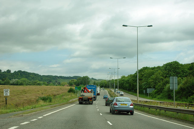
Image: © Robin Webster Taken: 17 Jul 2012
The A249 is the second of two major links between the M20 and the M2 in this area. The other is the A229. Both have to ascend the North Downs (seen ahead) by rather steep hills.
Images are licensed for reuse under creativecommons.org/licenses/by-sa/2.0
Image Location
Latitude
51.2898
Longitude
0.555672