Rotten Row, Southport
Introduction
The photograph on this page of Rotten Row, Southport by K A as part of the Geograph project.
The Geograph project started in 2005 with the aim of publishing, organising and preserving representative images for every square kilometre of Great Britain, Ireland and the Isle of Man.

There are currently over 7.5m images from over 14,400 individuals and you can help contribute to the project by visiting https://www.geograph.org.uk
Rotten Row, Southport
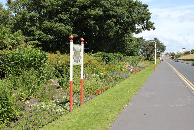
Image: © K A Taken: 15 Jul 2012
The famous herbaceous border that lies along nearly the whole length of Rotten Row
Images are licensed for reuse under creativecommons.org/licenses/by-sa/2.0
Image Location
Latitude
53.643644
Longitude
-3.018129