The Longe Arms Spixworth
Introduction
The photograph on this page of The Longe Arms Spixworth by Phil Gaskin as part of the Geograph project.
The Geograph project started in 2005 with the aim of publishing, organising and preserving representative images for every square kilometre of Great Britain, Ireland and the Isle of Man.

There are currently over 7.5m images from over 14,400 individuals and you can help contribute to the project by visiting https://www.geograph.org.uk
The Longe Arms Spixworth
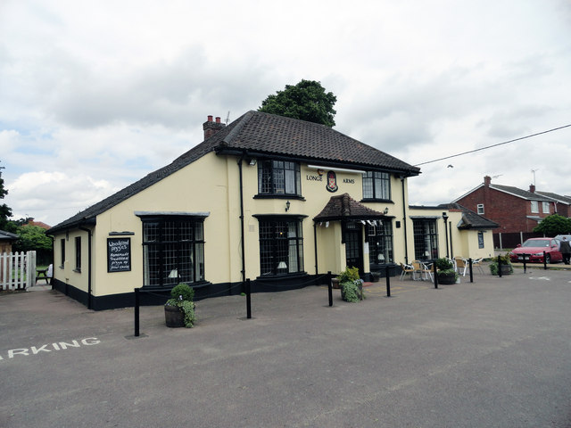
Image: © Phil Gaskin Taken: 25 Jun 2012
Located on the junction of Buxton Road and Crostwick Lane. It nearly closed at the end of 2010 when the lease was due to run out. Two villagers decided to take it over rather than see it close.
Images are licensed for reuse under creativecommons.org/licenses/by-sa/2.0
Image Location
Latitude
52.688021
Longitude
1.317104