Rock Lane
Introduction
The photograph on this page of Rock Lane by Sue Adair as part of the Geograph project.
The Geograph project started in 2005 with the aim of publishing, organising and preserving representative images for every square kilometre of Great Britain, Ireland and the Isle of Man.

There are currently over 7.5m images from over 14,400 individuals and you can help contribute to the project by visiting https://www.geograph.org.uk
Rock Lane
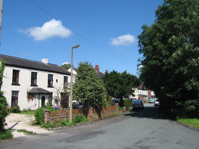
Image: © Sue Adair Taken: 7 Jul 2012
Since the building of the M58, Rock Lane, the main Melling to Maghull road is bypassed at this point, leaving this quiet rural backwater.
Images are licensed for reuse under creativecommons.org/licenses/by-sa/2.0
Image Location
Latitude
53.50083
Longitude
-2.927714