Pond near Sandbeck House
Introduction
The photograph on this page of Pond near Sandbeck House by Roger W Haworth as part of the Geograph project.
The Geograph project started in 2005 with the aim of publishing, organising and preserving representative images for every square kilometre of Great Britain, Ireland and the Isle of Man.

There are currently over 7.5m images from over 14,400 individuals and you can help contribute to the project by visiting https://www.geograph.org.uk
Pond near Sandbeck House
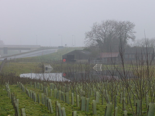
Image: © Roger W Haworth Taken: 28 Dec 2006
This pond may have been created because the construction of the start of the A1(M) north of Wetherby had destroyed the natural drainage from this point.
Images are licensed for reuse under creativecommons.org/licenses/by-sa/2.0
Image Location
Latitude
53.940888
Longitude
-1.375382