B4598 heads south away from the A40, Abergavenny
Introduction
The photograph on this page of B4598 heads south away from the A40, Abergavenny by Jaggery as part of the Geograph project.
The Geograph project started in 2005 with the aim of publishing, organising and preserving representative images for every square kilometre of Great Britain, Ireland and the Isle of Man.

There are currently over 7.5m images from over 14,400 individuals and you can help contribute to the project by visiting https://www.geograph.org.uk
B4598 heads south away from the A40, Abergavenny
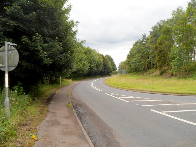
Image: © Jaggery Taken: 15 Jul 2012
Formerly the road ahead, now the B4598, was the A40. It was reclassified after a new dual carriageway road nearby became the A40. For several miles ahead, in the direction of Raglan, the B4598 and the A40 follow more or less parallel routes, about 100 metres apart.
Images are licensed for reuse under creativecommons.org/licenses/by-sa/2.0
Image Location
Latitude
51.806824
Longitude
-3.006525