West Acre, Black Chirnells and Blue Chirnells
Introduction
The photograph on this page of West Acre, Black Chirnells and Blue Chirnells by Derek Harper as part of the Geograph project.
The Geograph project started in 2005 with the aim of publishing, organising and preserving representative images for every square kilometre of Great Britain, Ireland and the Isle of Man.

There are currently over 7.5m images from over 14,400 individuals and you can help contribute to the project by visiting https://www.geograph.org.uk
West Acre, Black Chirnells and Blue Chirnells
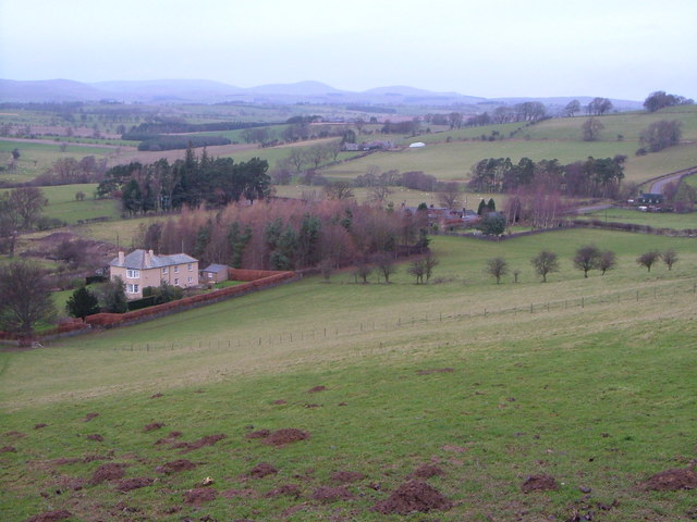
Image: © Derek Harper Taken: 31 Dec 2006
Three houses along the road from Thropton to Cartington, seen from a bend in a bridleway as it drops from Glitteringstone. The farm beyond Black Chirnells is Sandylands. The Cheviots in the extreme distance.
Images are licensed for reuse under creativecommons.org/licenses/by-sa/2.0
Image Location
Latitude
55.324654
Longitude
-1.947964