Fountain Court West Mersea
Introduction
The photograph on this page of Fountain Court West Mersea by Phil Gaskin as part of the Geograph project.
The Geograph project started in 2005 with the aim of publishing, organising and preserving representative images for every square kilometre of Great Britain, Ireland and the Isle of Man.

There are currently over 7.5m images from over 14,400 individuals and you can help contribute to the project by visiting https://www.geograph.org.uk
Fountain Court West Mersea
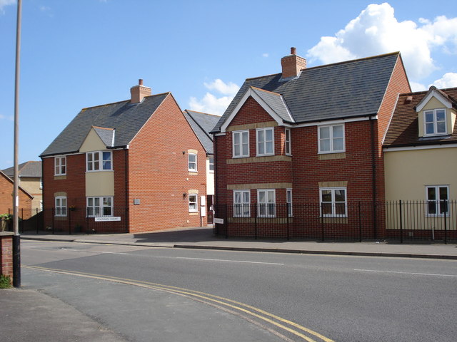
Image: © Phil Gaskin Taken: 21 May 2009
These residential properties were built on the site of The Fountain public house, hence the name. They are on the corner of the B1025 and East Road opposite the Police Station.
Images are licensed for reuse under creativecommons.org/licenses/by-sa/2.0
Image Location
Latitude
51.780781
Longitude
0.920615