B4494 north of Triangle Wood
Introduction
The photograph on this page of B4494 north of Triangle Wood by Stuart Logan as part of the Geograph project.
The Geograph project started in 2005 with the aim of publishing, organising and preserving representative images for every square kilometre of Great Britain, Ireland and the Isle of Man.

There are currently over 7.5m images from over 14,400 individuals and you can help contribute to the project by visiting https://www.geograph.org.uk
B4494 north of Triangle Wood
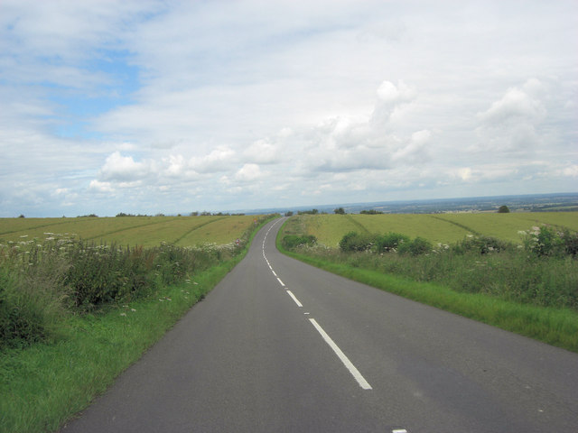
Image: © Stuart Logan Taken: 15 Jul 2012
This is over 200 metres above sea level and the road will descend the north face of the downs for some time, rendering spectacular views of the Oxfordshire countryside.
Images are licensed for reuse under creativecommons.org/licenses/by-sa/2.0
Image Location


Leaflet Map data © OpenStreetMap
Latitude
51.553071
Longitude
-1.397648