Looking across the Ing Lands
Introduction
The photograph on this page of Looking across the Ing Lands by Chris as part of the Geograph project.
The Geograph project started in 2005 with the aim of publishing, organising and preserving representative images for every square kilometre of Great Britain, Ireland and the Isle of Man.

There are currently over 7.5m images from over 14,400 individuals and you can help contribute to the project by visiting https://www.geograph.org.uk
Looking across the Ing Lands
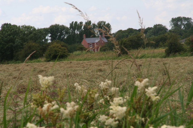
Image: © Chris Taken: 15 Jul 2012
From the track from Eau Bridge Farm to Conisholme. The sweet scent of the meadowsweet in the foreground mixed with the smell of drying hay behind it. After all the bad weather and the wettest June on record, it really smelt like summer.
Images are licensed for reuse under creativecommons.org/licenses/by-sa/2.0
Image Location
Latitude
53.432364
Longitude
0.112459