Allotment Gardens
Introduction
The photograph on this page of Allotment Gardens by Kokai as part of the Geograph project.
The Geograph project started in 2005 with the aim of publishing, organising and preserving representative images for every square kilometre of Great Britain, Ireland and the Isle of Man.

There are currently over 7.5m images from over 14,400 individuals and you can help contribute to the project by visiting https://www.geograph.org.uk
Allotment Gardens
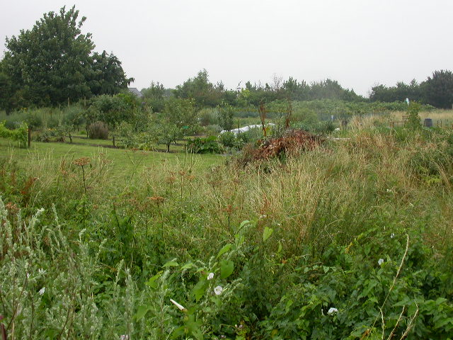
Image: © Kokai Taken: 24 Jul 2005
This is the plot to the North East of Blisworth. They are now smaller than shown on the map I was using.
Images are licensed for reuse under creativecommons.org/licenses/by-sa/2.0
Image Location


Leaflet Map data © OpenStreetMap
Latitude
52.175004
Longitude
-0.941221