Fences, hedge & floods
Introduction
The photograph on this page of Fences, hedge & floods by Rob Farrow as part of the Geograph project.
The Geograph project started in 2005 with the aim of publishing, organising and preserving representative images for every square kilometre of Great Britain, Ireland and the Isle of Man.

There are currently over 7.5m images from over 14,400 individuals and you can help contribute to the project by visiting https://www.geograph.org.uk
Fences, hedge & floods
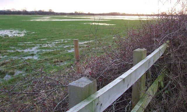
Image: © Rob Farrow Taken: 2 Jan 2007
Quite a barrier to accessing the field here ! First a wooden fence, then a prickly hedge and then a mesh fence. And all for access to seriously boggy ground ! The floods in the distance merge into the adjacent gridsquare (SP6320)
Images are licensed for reuse under creativecommons.org/licenses/by-sa/2.0
Image Location


Leaflet Map data © OpenStreetMap
Latitude
51.878383
Longitude
-1.067906