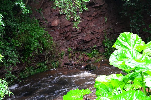
Upper Old Red sandstone exposure, Denholm Dean
Introduction
The photograph on this page of Upper Old Red sandstone exposure, Denholm Dean by Jim Barton as part of the Geograph project.
The Geograph project started in 2005 with the aim of publishing, organising and preserving representative images for every square kilometre of Great Britain, Ireland and the Isle of Man.
There are currently over 7.5m images from over 14,400 individuals and you can help contribute to the project by visiting https://www.geograph.org.uk

Image: © Jim Barton Taken: 12 Jul 2012
A section about 2m high has been eroded here by the Dean Burn. These sandstones date from late Devonian times, about 360 million years ago, and are found outcropping in a belt running approximately SW towards Langholm and the Solway (see 'Death of an Ocean' E Clarkson and B Upton, Dunedin Edinburgh 2010).

