Sidmouth floods (6)
Introduction
The photograph on this page of Sidmouth floods (6) by Anthony Vosper as part of the Geograph project.
The Geograph project started in 2005 with the aim of publishing, organising and preserving representative images for every square kilometre of Great Britain, Ireland and the Isle of Man.

There are currently over 7.5m images from over 14,400 individuals and you can help contribute to the project by visiting https://www.geograph.org.uk
Sidmouth floods (6)
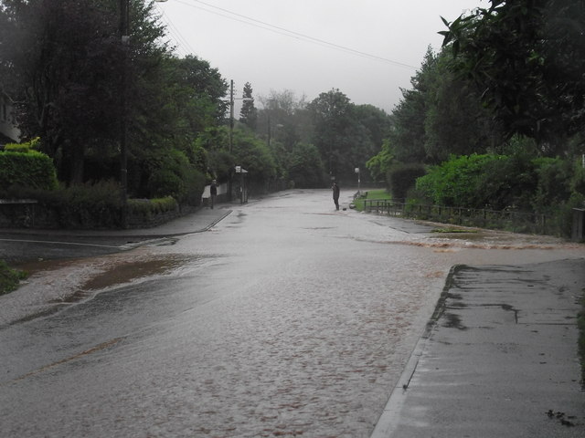
Image: © Anthony Vosper Taken: 7 Jul 2012
Woolbrook Road,7.30am in the morning the water from a near by stream is now abating having peaked at 5.00am, at its highest it covered both pavements.
Images are licensed for reuse under creativecommons.org/licenses/by-sa/2.0
Image Location
Latitude
50.696394
Longitude
-3.247337