A view of Gedling Church from Ouse Dyke
Introduction
The photograph on this page of A view of Gedling Church from Ouse Dyke by George Starr as part of the Geograph project.
The Geograph project started in 2005 with the aim of publishing, organising and preserving representative images for every square kilometre of Great Britain, Ireland and the Isle of Man.

There are currently over 7.5m images from over 14,400 individuals and you can help contribute to the project by visiting https://www.geograph.org.uk
A view of Gedling Church from Ouse Dyke
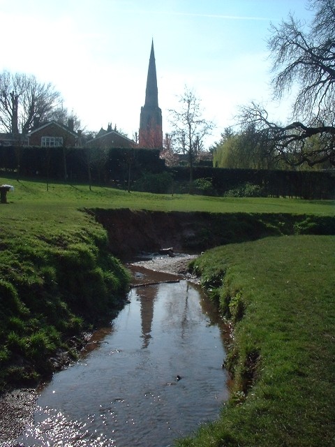
Image: © George Starr Taken: Unknown
The Ouse Dyke (not named on my map - an old 1:25000 First Series) winds its way down through Gedling, Netherfield and what used to be 'Colwick Sidings', eventually entering the river Trent at Burton Joyce (SK6441).
Images are licensed for reuse under creativecommons.org/licenses/by-sa/2.0
Image Location
Latitude
52.977283
Longitude
-1.080778