The Orange Way in Dorset and Somerset (1)
Introduction
The photograph on this page of The Orange Way in Dorset and Somerset (1) by Shazz as part of the Geograph project.
The Geograph project started in 2005 with the aim of publishing, organising and preserving representative images for every square kilometre of Great Britain, Ireland and the Isle of Man.

There are currently over 7.5m images from over 14,400 individuals and you can help contribute to the project by visiting https://www.geograph.org.uk
The Orange Way in Dorset and Somerset (1)
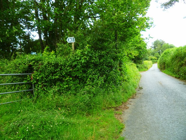
Image: © Shazz Taken: 1 Jul 2012
The Orange Way is a long distance path of 341 miles following the route of William of Orange from his landing at Brixham to St James's Palace in London. I walked the Devon section between October 2011 and April this year and now embark on the continuation through Dorset and Somerset. Here the Orange Way has emerged from the field gate on the left to go up Easthay Lane.
Images are licensed for reuse under creativecommons.org/licenses/by-sa/2.0
Image Location
Latitude
50.808696
Longitude
-2.909127