Ford at Steeple Bumpstead
Introduction
The photograph on this page of Ford at Steeple Bumpstead by John Walton as part of the Geograph project.
The Geograph project started in 2005 with the aim of publishing, organising and preserving representative images for every square kilometre of Great Britain, Ireland and the Isle of Man.

There are currently over 7.5m images from over 14,400 individuals and you can help contribute to the project by visiting https://www.geograph.org.uk
Ford at Steeple Bumpstead
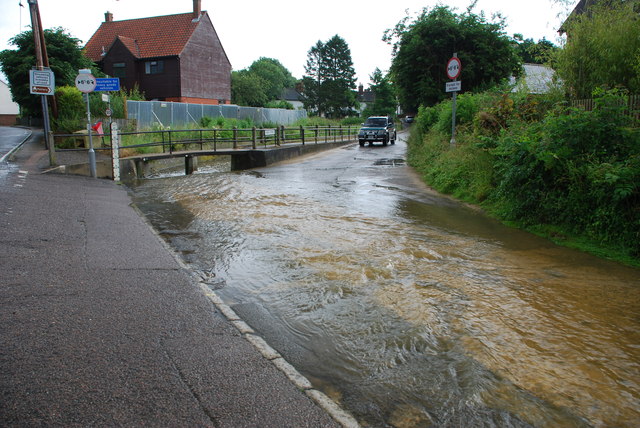
Image: © John Walton Taken: 8 Jul 2012
This ford runs along the edge of the B1057 and flows across the entrance to the village and to a private dwelling. http://www.youtube.com/watch?v=-X_JRIgStIw&feature=youtu.be
Images are licensed for reuse under creativecommons.org/licenses/by-sa/2.0
Image Location
Latitude
52.042566
Longitude
0.444114