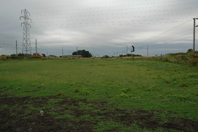
Railway Junction, Burtonwood
Introduction
The photograph on this page of Railway Junction, Burtonwood by andy as part of the Geograph project.
The Geograph project started in 2005 with the aim of publishing, organising and preserving representative images for every square kilometre of Great Britain, Ireland and the Isle of Man.
There are currently over 7.5m images from over 14,400 individuals and you can help contribute to the project by visiting https://www.geograph.org.uk

Image: © andy Taken: 25 Jul 2005
Although it's not quite clear, and it's at times like this that you wish you have a higher vantage point, in the centre of this picture, located at around SJ 587 931, is a railway junction where the main north/south line from Warrington splits. This is a south view and the line which heads off to the left is the main line heading north and the line running off to the right makes its way to join an east/west line at Earlestown. The land in the foreground is used for pasture, probably for horses although no livestock was around at the time this picture was taken.

