Manor Farm, Clowne
Introduction
The photograph on this page of Manor Farm, Clowne by A runningman as part of the Geograph project.
The Geograph project started in 2005 with the aim of publishing, organising and preserving representative images for every square kilometre of Great Britain, Ireland and the Isle of Man.

There are currently over 7.5m images from over 14,400 individuals and you can help contribute to the project by visiting https://www.geograph.org.uk
Manor Farm, Clowne
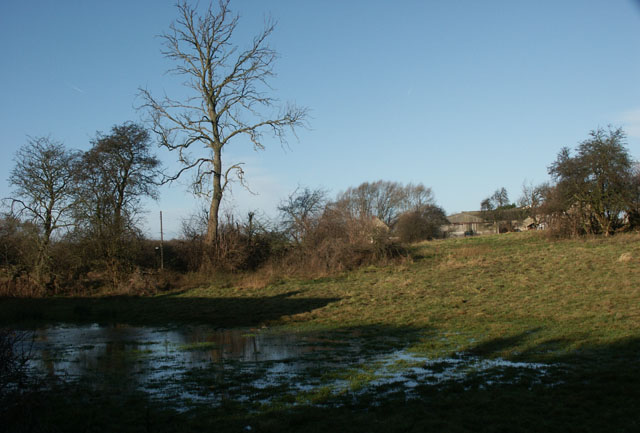
Image: © A runningman Taken: 1 Jan 2007
Taken from Hickingwood Lane, looking north towards Manor Farm, Clowne. The stream flowing from Harlesthorpe Dam, known locally as "Bumpmill Pond", regularly floods the adjacent fields.
Images are licensed for reuse under creativecommons.org/licenses/by-sa/2.0
Image Location


Leaflet Map data © OpenStreetMap
Latitude
53.280474
Longitude
-1.259065