Calf Lane level crossing, Coleraine (3)
Introduction
The photograph on this page of Calf Lane level crossing, Coleraine (3) by Albert Bridge as part of the Geograph project.
The Geograph project started in 2005 with the aim of publishing, organising and preserving representative images for every square kilometre of Great Britain, Ireland and the Isle of Man.

There are currently over 7.5m images from over 14,400 individuals and you can help contribute to the project by visiting https://www.geograph.org.uk
Calf Lane level crossing, Coleraine (3)
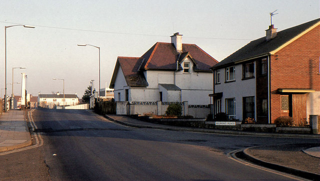
Image: © Albert Bridge Taken: 16 Feb 1985
See Image (June 2012). An earlier view of the crossing when it had manually-operated gates.
Images are licensed for reuse under creativecommons.org/licenses/by-sa/2.0
Image Location
Latitude
55.13805
Longitude
-6.665109