Ottery St Mary : Closed Public Footpath
Introduction
The photograph on this page of Ottery St Mary : Closed Public Footpath by Lewis Clarke as part of the Geograph project.
The Geograph project started in 2005 with the aim of publishing, organising and preserving representative images for every square kilometre of Great Britain, Ireland and the Isle of Man.

There are currently over 7.5m images from over 14,400 individuals and you can help contribute to the project by visiting https://www.geograph.org.uk
Ottery St Mary : Closed Public Footpath
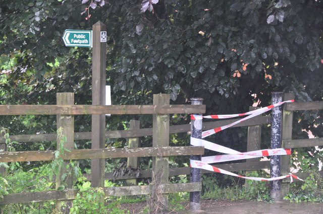
Image: © Lewis Clarke Taken: 7 Jul 2012
The fire service have shut off this footpath with some tape due to flooding.
Images are licensed for reuse under creativecommons.org/licenses/by-sa/2.0
Image Location
Latitude
50.749034
Longitude
-3.285875