Old Maltings
Introduction
The photograph on this page of Old Maltings by Keith Evans as part of the Geograph project.
The Geograph project started in 2005 with the aim of publishing, organising and preserving representative images for every square kilometre of Great Britain, Ireland and the Isle of Man.

There are currently over 7.5m images from over 14,400 individuals and you can help contribute to the project by visiting https://www.geograph.org.uk
Old Maltings
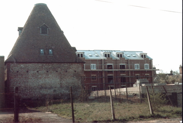
Image: © Keith Evans Taken: Unknown
Old maltings Bury St.Edmunds Suffolk. Photo taken in march 1990 see http://www.geograph.org.uk/photo/302737 for view now 17 years later.
Images are licensed for reuse under creativecommons.org/licenses/by-sa/2.0
Image Location


Leaflet Map data © OpenStreetMap
Latitude
52.238605
Longitude
0.723221