River Irwell, Wilburn Street Basin
Introduction
The photograph on this page of River Irwell, Wilburn Street Basin by David Dixon as part of the Geograph project.
The Geograph project started in 2005 with the aim of publishing, organising and preserving representative images for every square kilometre of Great Britain, Ireland and the Isle of Man.

There are currently over 7.5m images from over 14,400 individuals and you can help contribute to the project by visiting https://www.geograph.org.uk
River Irwell, Wilburn Street Basin
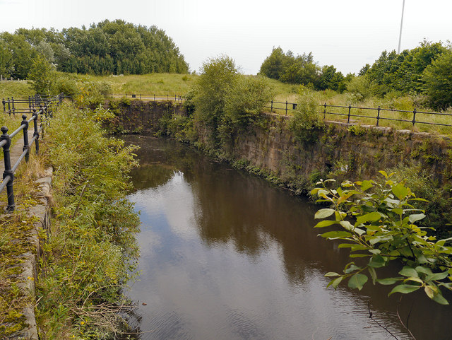
Image: © David Dixon Taken: 3 Jul 2012
The river basin was constructed in 1865. Its original use was for barges to conveniently collect manure, ash-pit contents and night-soil to be taken to Chat Moss to be used to fertilise the land.
Images are licensed for reuse under creativecommons.org/licenses/by-sa/2.0
Image Location
Latitude
53.477267
Longitude
-2.26258