Lighthouse Point, The Highway
Introduction
The photograph on this page of Lighthouse Point, The Highway by Simon Carey as part of the Geograph project.
The Geograph project started in 2005 with the aim of publishing, organising and preserving representative images for every square kilometre of Great Britain, Ireland and the Isle of Man.

There are currently over 7.5m images from over 14,400 individuals and you can help contribute to the project by visiting https://www.geograph.org.uk
Lighthouse Point, The Highway
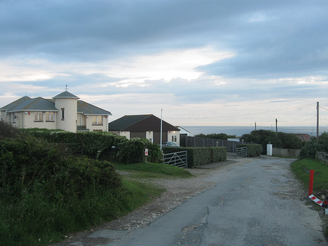
Image: © Simon Carey Taken: 6 Jul 2012
There has been a house on this plot since the 1920s though I have a feeling this may be a rebuild.
Images are licensed for reuse under creativecommons.org/licenses/by-sa/2.0
Image Location
Latitude
50.78696
Longitude
0.023471