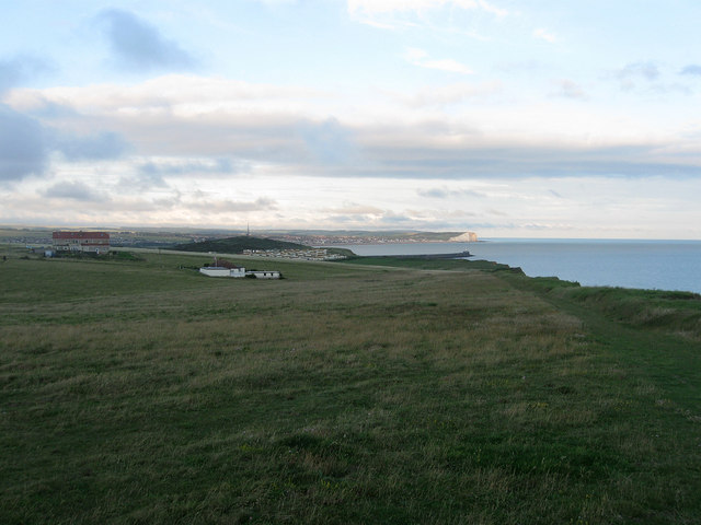
Harbour Heights
Introduction
The photograph on this page of Harbour Heights by Simon Carey as part of the Geograph project.
The Geograph project started in 2005 with the aim of publishing, organising and preserving representative images for every square kilometre of Great Britain, Ireland and the Isle of Man.
There are currently over 7.5m images from over 14,400 individuals and you can help contribute to the project by visiting https://www.geograph.org.uk

Image: © Simon Carey Taken: 6 Jul 2012
The name given to the cliff top area within the parish of Newhaven. Much like neighbouring Peacehaven Heights the area was developed between the wars with roads laid out and a few plots purchased which, after the 1947 Planning Act, left the area with isolated houses and large open areas. The building to the left contains two houses; Lyndale and Westdean, whilst the white building to its right is Cliff Cottage. Newhaven heights caravan park lies in the lee of Castle Hill with Seaford and Seaford Head visible across Seaford Bay.

