Tenantry Down
Introduction
The photograph on this page of Tenantry Down by Simon Carey as part of the Geograph project.
The Geograph project started in 2005 with the aim of publishing, organising and preserving representative images for every square kilometre of Great Britain, Ireland and the Isle of Man.

There are currently over 7.5m images from over 14,400 individuals and you can help contribute to the project by visiting https://www.geograph.org.uk
Tenantry Down
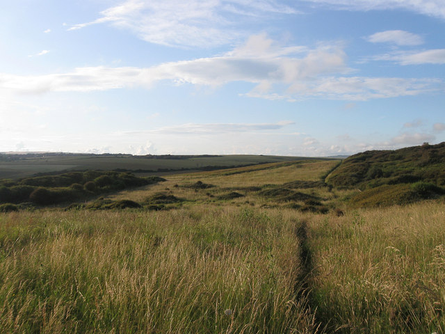
Image: © Simon Carey Taken: 6 Jul 2012
The name of this piece of downland according to Piddinghoe's 1843 tithe map that now lies to the immediate east of the town of Peacehaven on the slopes of Rushey Hill. The footpath to Piddinghoe via Nore Down is visible.
Images are licensed for reuse under creativecommons.org/licenses/by-sa/2.0
Image Location
Latitude
50.792187
Longitude
0.022846