Roundhay Avenue
Introduction
The photograph on this page of Roundhay Avenue by Simon Carey as part of the Geograph project.
The Geograph project started in 2005 with the aim of publishing, organising and preserving representative images for every square kilometre of Great Britain, Ireland and the Isle of Man.

There are currently over 7.5m images from over 14,400 individuals and you can help contribute to the project by visiting https://www.geograph.org.uk
Roundhay Avenue
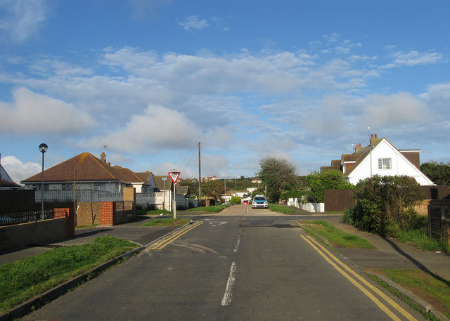
Image: © Simon Carey Taken: 6 Jul 2012
Part of the original 1920s layout the road runs from a right angled bend with Cissbury Avenue in the west, crosses Downland Avenue then becomes a cul de sac beyond.
Images are licensed for reuse under creativecommons.org/licenses/by-sa/2.0
Image Location
Latitude
50.789353
Longitude
0.020311