Pavilion at Burnt Yates Cricket Club
Introduction
The photograph on this page of Pavilion at Burnt Yates Cricket Club by Chris Heaton as part of the Geograph project.
The Geograph project started in 2005 with the aim of publishing, organising and preserving representative images for every square kilometre of Great Britain, Ireland and the Isle of Man.

There are currently over 7.5m images from over 14,400 individuals and you can help contribute to the project by visiting https://www.geograph.org.uk
Pavilion at Burnt Yates Cricket Club
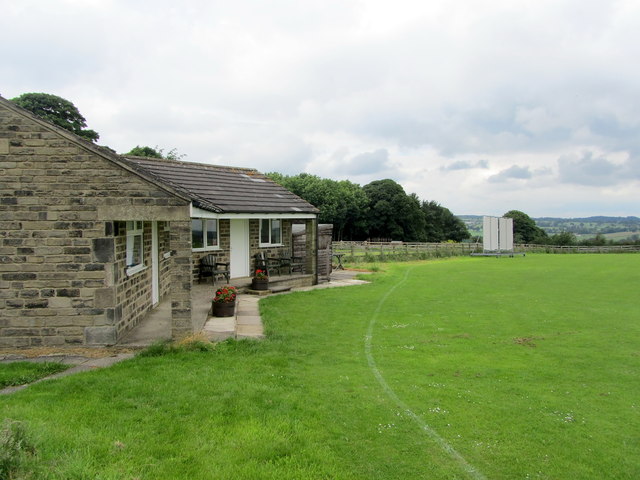
Image: © Chris Heaton Taken: 4 Jul 2012
Modern pavilion beside the tidy cricket ground on the B6165 in Burnt Yates - participants in the Nidderdale League.
Images are licensed for reuse under creativecommons.org/licenses/by-sa/2.0
Image Location
Latitude
54.045886
Longitude
-1.616179