Monk Wall near Dinmore House
Introduction
The photograph on this page of Monk Wall near Dinmore House by Chris Heaton as part of the Geograph project.
The Geograph project started in 2005 with the aim of publishing, organising and preserving representative images for every square kilometre of Great Britain, Ireland and the Isle of Man.

There are currently over 7.5m images from over 14,400 individuals and you can help contribute to the project by visiting https://www.geograph.org.uk
Monk Wall near Dinmore House
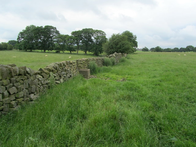
Image: © Chris Heaton Taken: 4 Jul 2012
Described on the map as "Monk Wall (course of)" - obviously not the original, but on the old foundations of a stone wall with connections to Fountains Abbey.
Images are licensed for reuse under creativecommons.org/licenses/by-sa/2.0
Image Location
Latitude
54.042782
Longitude
-1.629493