Steading at Cotterton
Introduction
The photograph on this page of Steading at Cotterton by Anne Burgess as part of the Geograph project.
The Geograph project started in 2005 with the aim of publishing, organising and preserving representative images for every square kilometre of Great Britain, Ireland and the Isle of Man.

There are currently over 7.5m images from over 14,400 individuals and you can help contribute to the project by visiting https://www.geograph.org.uk
Steading at Cotterton
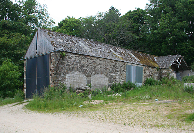
Image: © Anne Burgess Taken: 6 Jul 2012
There is a large steading at Cotterton with two long ranges. This is the west range, evidently much altered since it was built.
Images are licensed for reuse under creativecommons.org/licenses/by-sa/2.0
Image Location
Latitude
57.489103
Longitude
-3.054547