IOW coastal path on the edge of Fishbourne
Introduction
The photograph on this page of IOW coastal path on the edge of Fishbourne by David Smith as part of the Geograph project.
The Geograph project started in 2005 with the aim of publishing, organising and preserving representative images for every square kilometre of Great Britain, Ireland and the Isle of Man.

There are currently over 7.5m images from over 14,400 individuals and you can help contribute to the project by visiting https://www.geograph.org.uk
IOW coastal path on the edge of Fishbourne
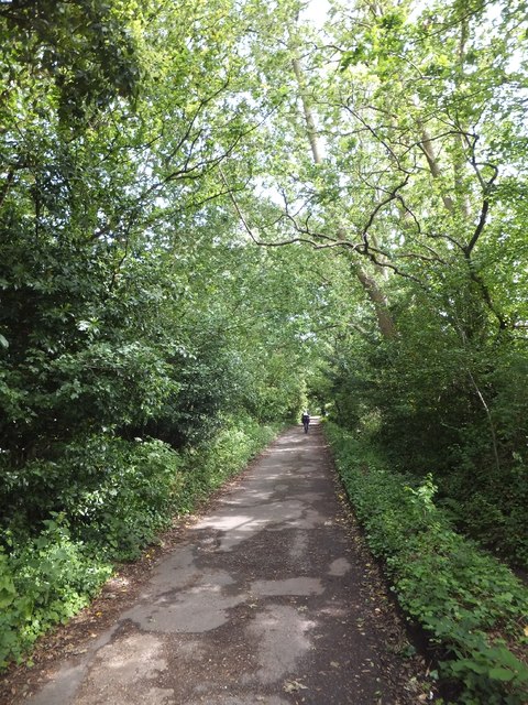
Image: © David Smith Taken: 17 Jun 2012
The coastal path runs a short distance inland from the coast between Fishbourne and Ryde
Images are licensed for reuse under creativecommons.org/licenses/by-sa/2.0
Image Location
Latitude
50.732331
Longitude
-1.211699