Buttercup Meadow
Introduction
The photograph on this page of Buttercup Meadow by Anne Burgess as part of the Geograph project.
The Geograph project started in 2005 with the aim of publishing, organising and preserving representative images for every square kilometre of Great Britain, Ireland and the Isle of Man.

There are currently over 7.5m images from over 14,400 individuals and you can help contribute to the project by visiting https://www.geograph.org.uk
Buttercup Meadow
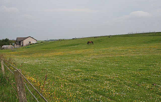
Image: © Anne Burgess Taken: 5 Jul 2012
This was rather unexpected, being a couole of hundred yards up a track from the industrial estate. The new house is probably Craigneil, which is the name on the signpost at the end of the road.
Images are licensed for reuse under creativecommons.org/licenses/by-sa/2.0
Image Location
Latitude
57.663994
Longitude
-2.477499