Green Hills
Introduction
The photograph on this page of Green Hills by Anne Burgess as part of the Geograph project.
The Geograph project started in 2005 with the aim of publishing, organising and preserving representative images for every square kilometre of Great Britain, Ireland and the Isle of Man.

There are currently over 7.5m images from over 14,400 individuals and you can help contribute to the project by visiting https://www.geograph.org.uk
Green Hills
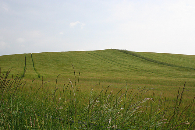
Image: © Anne Burgess Taken: 5 Jul 2012
The summit of this modest hill is all of 71 metres above sea level, and unreachable in summer because it is surrounded by crops, in this case barley.
Images are licensed for reuse under creativecommons.org/licenses/by-sa/2.0
Image Location
Latitude
57.66401
Longitude
-2.473309