Mudeford: car park markings
Introduction
The photograph on this page of Mudeford: car park markings by Chris Downer as part of the Geograph project.
The Geograph project started in 2005 with the aim of publishing, organising and preserving representative images for every square kilometre of Great Britain, Ireland and the Isle of Man.

There are currently over 7.5m images from over 14,400 individuals and you can help contribute to the project by visiting https://www.geograph.org.uk
Mudeford: car park markings
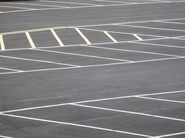
Image: © Chris Downer Taken: 1 Jul 2012
Looking across the empty half of this pay-and-display car park. The yellow diagonal lines mark a no-parking area to keep access free flowing given the car park's odd semicircular shape.
Images are licensed for reuse under creativecommons.org/licenses/by-sa/2.0
Image Location
Latitude
50.729478
Longitude
-1.735138