Path from Coton to Girton
Introduction
The photograph on this page of Path from Coton to Girton by John Sutton as part of the Geograph project.
The Geograph project started in 2005 with the aim of publishing, organising and preserving representative images for every square kilometre of Great Britain, Ireland and the Isle of Man.

There are currently over 7.5m images from over 14,400 individuals and you can help contribute to the project by visiting https://www.geograph.org.uk
Path from Coton to Girton
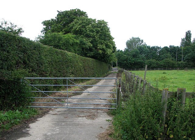
Image: © John Sutton Taken: 5 Jul 2012
The stretch of the path immediately south of Huntingdon Road, near Howe's Farm and Girton College.
Images are licensed for reuse under creativecommons.org/licenses/by-sa/2.0
Image Location
Latitude
52.229419
Longitude
0.07875