Westfield Avenue, Goole
Introduction
The photograph on this page of Westfield Avenue, Goole by Trevor Littlewood as part of the Geograph project.
The Geograph project started in 2005 with the aim of publishing, organising and preserving representative images for every square kilometre of Great Britain, Ireland and the Isle of Man.

There are currently over 7.5m images from over 14,400 individuals and you can help contribute to the project by visiting https://www.geograph.org.uk
Westfield Avenue, Goole
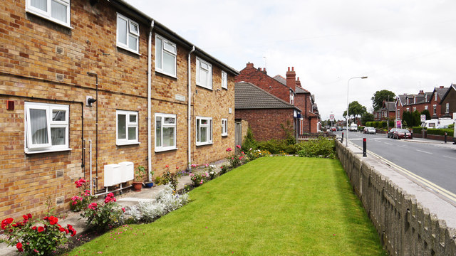
Image: © Trevor Littlewood Taken: 4 Jul 2012
Pasture Road, one of the main shopping streets of Goole, becomes Westfield Avenue as the shops end and residential properties begin; the modern row of houses separated from the road by garden is Kirkby Close.
Images are licensed for reuse under creativecommons.org/licenses/by-sa/2.0
Image Location
Latitude
53.709459
Longitude
-0.873092