Tysoe Manor [1]
Introduction
The photograph on this page of Tysoe Manor [1] by Michael Dibb as part of the Geograph project.
The Geograph project started in 2005 with the aim of publishing, organising and preserving representative images for every square kilometre of Great Britain, Ireland and the Isle of Man.

There are currently over 7.5m images from over 14,400 individuals and you can help contribute to the project by visiting https://www.geograph.org.uk
Tysoe Manor [1]
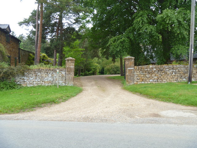
Image: © Michael Dibb Taken: 2 Jun 2012
The entrance driveway from Shipston Road. Garden Cottage Image is on the left. The footpath to Whatcote, part of the Centenary Way, runs along the drive for a few yards before heading into the bushes.
Images are licensed for reuse under creativecommons.org/licenses/by-sa/2.0
Image Location
Latitude
52.090194
Longitude
-1.513632