The way on to Riddlesdown
Introduction
The photograph on this page of The way on to Riddlesdown by Marathon as part of the Geograph project.
The Geograph project started in 2005 with the aim of publishing, organising and preserving representative images for every square kilometre of Great Britain, Ireland and the Isle of Man.

There are currently over 7.5m images from over 14,400 individuals and you can help contribute to the project by visiting https://www.geograph.org.uk
The way on to Riddlesdown
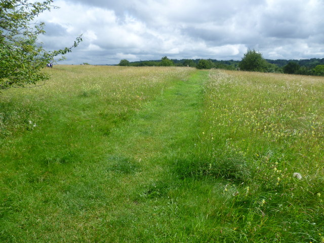
Image: © Marathon Taken: 4 Jul 2012
Riddlesdown is an area of chalk grassland and scrub on the side of the Caterham Valley with fine views north towards Croydon. It is owned by the City of London as one of several commons they own in this area. The yellow flower en masse in the grass here is yellow rattle, so called because of its loose, rattling seeds when its fruit is ripe.
Images are licensed for reuse under creativecommons.org/licenses/by-sa/2.0
Image Location
Latitude
51.329006
Longitude
-0.101181