Low density residential area along the back road
Introduction
The photograph on this page of Low density residential area along the back road by C Michael Hogan as part of the Geograph project.
The Geograph project started in 2005 with the aim of publishing, organising and preserving representative images for every square kilometre of Great Britain, Ireland and the Isle of Man.

There are currently over 7.5m images from over 14,400 individuals and you can help contribute to the project by visiting https://www.geograph.org.uk
Low density residential area along the back road
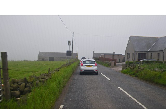
Image: © C Michael Hogan Taken: 3 Jul 2012
Fog earlier in the morning had closed Aberdeen airport.
Images are licensed for reuse under creativecommons.org/licenses/by-sa/2.0
Image Location
Latitude
57.13985
Longitude
-2.218583