Whyteleafe Road, Caterham
Introduction
The photograph on this page of Whyteleafe Road, Caterham by Marathon as part of the Geograph project.
The Geograph project started in 2005 with the aim of publishing, organising and preserving representative images for every square kilometre of Great Britain, Ireland and the Isle of Man.

There are currently over 7.5m images from over 14,400 individuals and you can help contribute to the project by visiting https://www.geograph.org.uk
Whyteleafe Road, Caterham
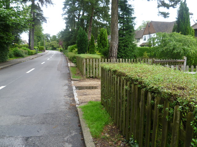
Image: © Marathon Taken: 4 Jul 2012
Whyteleafe Road runs along the top of the western side of the Caterham Valley. As can be seen here it is very leafy.
Images are licensed for reuse under creativecommons.org/licenses/by-sa/2.0
Image Location
Latitude
51.288106
Longitude
-0.085659