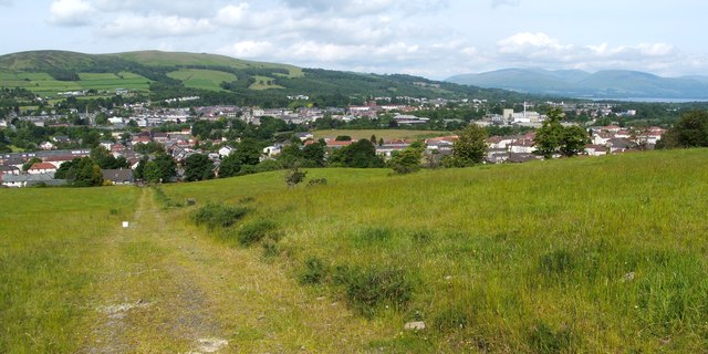
Track from site of Northfield Cottage
Introduction
The photograph on this page of Track from site of Northfield Cottage by Lairich Rig as part of the Geograph project.
The Geograph project started in 2005 with the aim of publishing, organising and preserving representative images for every square kilometre of Great Britain, Ireland and the Isle of Man.
There are currently over 7.5m images from over 14,400 individuals and you can help contribute to the project by visiting https://www.geograph.org.uk

Image: © Lairich Rig Taken: 25 Jun 2012
This is a view downhill along the same track as shown in Image, but the present photograph was taken from several hundred metres further uphill. Part of Loch Lomond can be seen on the right. Also visible on the right in this image is a large industrial building with the tall chimney: Image Not far ahead, just beyond the white tub, an old field boundary cuts across the track; its former course is still evident on the right as a line of trees, but it is less visible to the left of the track: Image For an uphill view along the track, see Image

