Portrush re-generation
Introduction
The photograph on this page of Portrush re-generation by Willie Duffin as part of the Geograph project.
The Geograph project started in 2005 with the aim of publishing, organising and preserving representative images for every square kilometre of Great Britain, Ireland and the Isle of Man.

There are currently over 7.5m images from over 14,400 individuals and you can help contribute to the project by visiting https://www.geograph.org.uk
Portrush re-generation
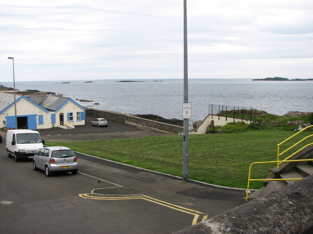
Image: © Willie Duffin Taken: 26 Jun 2012
Another derelict site (the former Leander House B&B) has been grassed over and leaves a nice open view across to the Skerries.
Images are licensed for reuse under creativecommons.org/licenses/by-sa/2.0
Image Location
Latitude
55.208173
Longitude
-6.653809