Along the road to Unthank
Introduction
The photograph on this page of Along the road to Unthank by Robert Graham as part of the Geograph project.
The Geograph project started in 2005 with the aim of publishing, organising and preserving representative images for every square kilometre of Great Britain, Ireland and the Isle of Man.

There are currently over 7.5m images from over 14,400 individuals and you can help contribute to the project by visiting https://www.geograph.org.uk
Along the road to Unthank
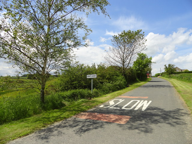
Image: © Robert Graham Taken: 20 Jun 2012
View west along the road to this Northumberland hamlet with a rather unusual name. It lies just east of the A68 near Kiln Pit Hill.
Images are licensed for reuse under creativecommons.org/licenses/by-sa/2.0
Image Location
Latitude
54.884784
Longitude
-1.936839