Fields near Middle Stoke Farm
Introduction
The photograph on this page of Fields near Middle Stoke Farm by Derek Harper as part of the Geograph project.
The Geograph project started in 2005 with the aim of publishing, organising and preserving representative images for every square kilometre of Great Britain, Ireland and the Isle of Man.

There are currently over 7.5m images from over 14,400 individuals and you can help contribute to the project by visiting https://www.geograph.org.uk
Fields near Middle Stoke Farm
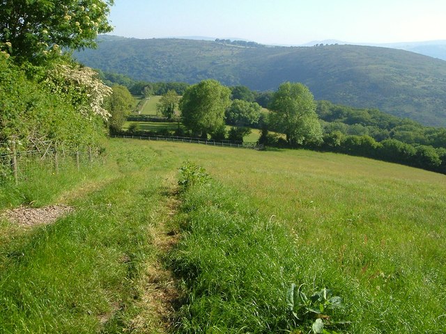
Image: © Derek Harper Taken: 9 Jun 2006
Seen from Holne Footpath 2, these grass fields are high above the Dart valley, which can be seen ahead. On the far side of the valley is steep moorland, followed near its crest by the Two Moors Way.
Images are licensed for reuse under creativecommons.org/licenses/by-sa/2.0
Image Location
Latitude
50.518841
Longitude
-3.839349