Lymington Road Service Road, Highcliffe
Introduction
The photograph on this page of Lymington Road Service Road, Highcliffe by mike smith as part of the Geograph project.
The Geograph project started in 2005 with the aim of publishing, organising and preserving representative images for every square kilometre of Great Britain, Ireland and the Isle of Man.

There are currently over 7.5m images from over 14,400 individuals and you can help contribute to the project by visiting https://www.geograph.org.uk
Lymington Road Service Road, Highcliffe
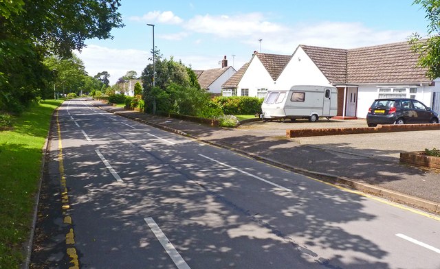
Image: © mike smith Taken: 5 Jul 2012
The main Lymington Road is to the left. The houses on this service road still have the address of Lymington Road.
Images are licensed for reuse under creativecommons.org/licenses/by-sa/2.0
Image Location


Leaflet Map data © OpenStreetMap
Latitude
50.739944
Longitude
-1.711695